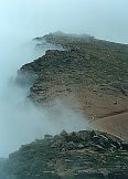
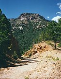
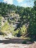
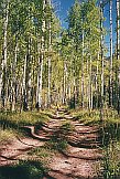
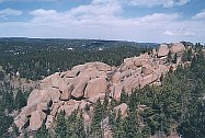
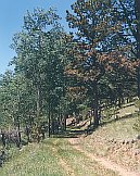
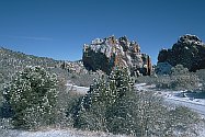
Gold Camp Road is the old railroad bed on Pikes Peak's east side that lead from Colorado Springs to Cripple Creek. After a tunnel colapse in the 1990's a 9 mile portion was closed, leaving a beautiful section of mountians and forest, and two tunnels still open, and a great tour for bikers.
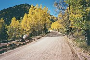
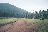
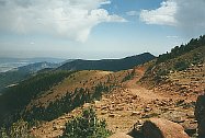
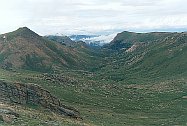
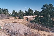
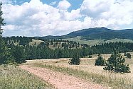
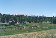
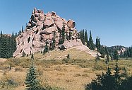
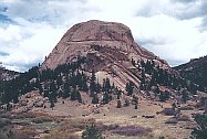
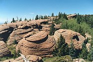
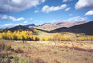
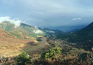
Northern Teller County is an area of lush rolling hills and the flat top plateau of Rampart Range. The hidden secret of this region is the huge selection of jeep road that are great for biking.
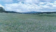
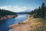
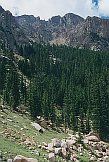
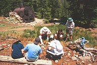
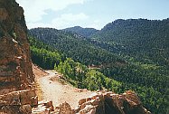
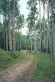
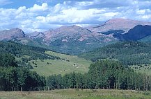
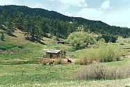
Southern Teller County has only a few trails on Pikes Peak's west slopes, but right across Rt 67 is huge Mueller Park with gigantic selection of hiking and biking trails that are stunningly pretty - bring your camper and spend the weekend.
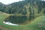
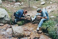
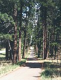
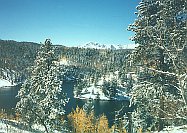
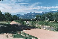
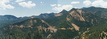
The Pike National Forest spills right into Colorado Springs. No town in America has as many mountain biking options as Colorado Springs, with 5 parks larger than a square mile and even more trails in the forest.
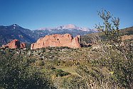
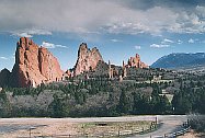
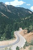
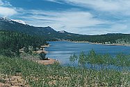
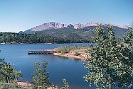
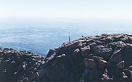
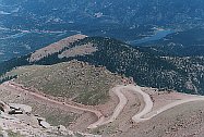
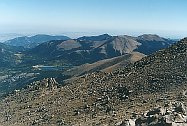
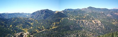
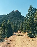
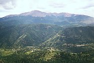
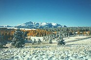
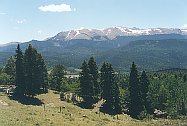
Pikes Peak is a huge 14,110 foot cone towering over Colorado Springs and anchoring the southern end of the Pike National Forest. Though there aren't as many trails on it's flanks as you'd think, there are three ways to the top: the Pikes Peak Highway, the Barr Trail, and the Cog Railway.